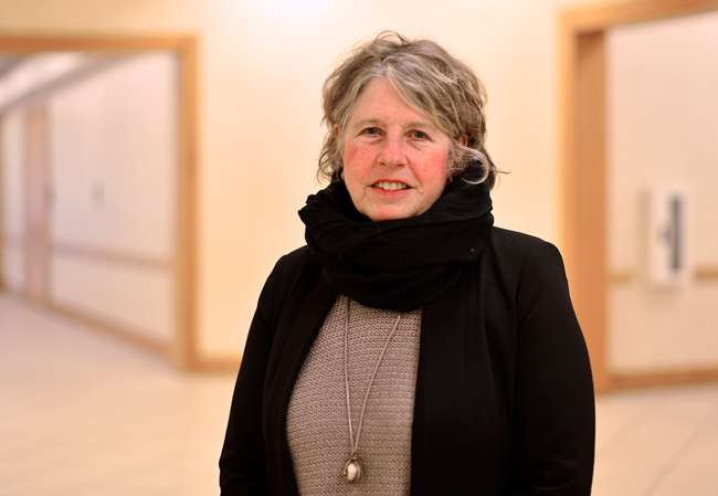
Developing more interactive, visual and user-friendly maps could help academic researchers better communicate their findings, according Suzanne Blier, a Harvard professor.
Blier, an African and African American studies and art history professor, spoke Wednesday about her current project, an open-source world mapping software. The software is an online database of societal and geographic characteristics of regions, including attributes such as religious associations and government type, according to Blier.
“I am happy to see other people download the system and collaborate to create new tools that can be shared across the platform,” Blier said.
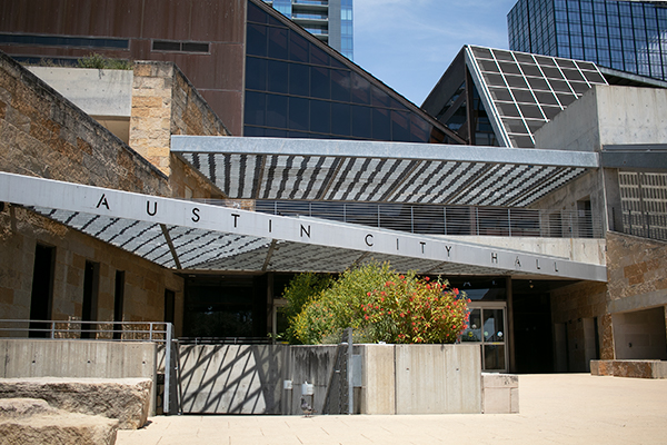
In Blier’s presentation, she demonstrated how to use the website, called “World Map.” She used Austin as an example, layering part of the city with an 1885 map to make comparisons.
Peter Bol, the former director of the Center for Geographic Analysis at Harvard, worked with Blier to start the project by piecing the best available maps of Africa together. After 2011, Blier went on to expand the map to the rest of the world.
With the search database on the website, individuals outside of academia have the ability to find specific attributes or demographics of certain geographic regions, according to Blier.
Blier said she began her research for the map 20 years ago when she transferred from Columbia University to Harvard University, but she is still collaborating with others to expand the database.
Classics associate professor Rabun Taylor said he looks forward to seeing the features of the site contribute to research more as the database expands.
“I was aware of World Map, but I did not realize the depth of the sources embedded in this website,” Taylor said. “In my line of work -— looking at ancient urban systems — having other ways to look at water sources on this site would expand all kinds of research.”
After collecting information on different regions with the help of the World Map, Blier said she began to explore social creativity and why it effects moments and places of time through the arts.
Blier’s work is inspiring people such as Pavel Potoplyak, who attended the lecture and is interested in Blier’s work making geography more visual as he starts his own geographical gaming site.
“I am working to create a fun way for kids to learn geography,” Potoplyak said. “I feel this is a great way for kids to visually look at and study some of the physical wonders we have.”