Researchers aid first responders by creating app to manage floods
October 6, 2021
Editor’s Note: This article first appeared as part of the September 27 flipbook.
Former firefighter Harry Evans said first responders often do not fully understand the depth and scope of flooding events they respond to, but UT researchers are working on an app that can pinpoint the size, depth and location of floods, which could save lives.
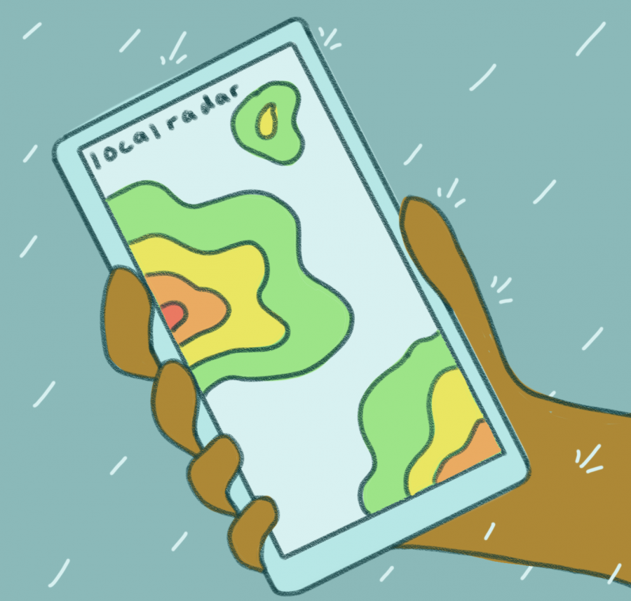
“So, (first responders are) pulling into this neighborhood. Your headlights shine over the street, and there’s water everywhere. At that point, you don’t know how big that flood is or how many homes are impacted,” said Evans, a former Austin Fire Department chief of staff who is now part of the research team. “But with this mobile app, you can use your mobile device, stand at the edge of the water and put a pin on the map that corresponds with the edge of the water on the ground. And what you get back almost instantly is a flood footprint.”
Pin2Flood allows first responders to utilize a map of their local area and drop a pin on the map to reveal the size and scope of the flooding. The prototype received a $1.6 million grant in September from the Federal Emergency Management Agency, which allowed the team to work on providing statewide access to the app. The team hopes to have a finished product ready in two to three years to be used across the nation.
“We’ve never had that before — where we knew exactly the scope and magnitude of the flood problem,” Evans said.
The team of researchers conducted exercises beginning in 2018 where first responders tested out the app by dropping pins at previous flood locations and compared the generated map with what actually occurred, Evans said. Evans said they used the app on a few actual floods where the app accurately portrayed the flood size and depth by analyzing land contours.
Researcher Paola Passalacqua said the app uses computer modeling to generate a library of various maps tracing different flooding scenarios.
“If you start seeing water at a given location, what you can do is to rely on these maps that have been previously developed and say, ‘Okay, if I’m seeing water at this location at this time during this event, then I’m likely to see this extent of the flood,’” said Passalacqua, associate civil architecture and environmental engineering professor. Researcher David Arctur said the app could also speed up the damage assessment process if information on the property and elevation is known.
Researcher David Maidment said large-scale funding and COVID-19 were huge obstacles for the team to overcome, delaying the timeline for the final product.
“Doing projects in universities is one thing, proving a concept is one thing, implementing a concept across all of Texas is something much larger and implementing something across the whole country is even more,” said Maidment, a civil, architectural and environmental engineering professor. “We were not trying to make money out of this. This is intended to save lives.”