UT-Austin researchers partner with Austin Fire Department to predict, map smoke impact on communities
February 8, 2023
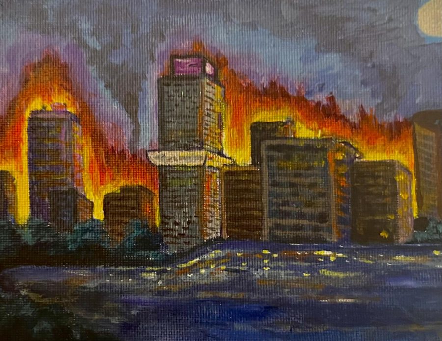
University researchers partnered with the Austin Fire Department to strengthen responses to fires and analyze the smoke’s environmental impact in various communities to instill a proper plan for communities at risk of unhealthy air quality.
“If (the fire) is near a school, there are instances where the air that is being breathed in by the children might not be suitable,” said geological sciences professor Dev Niyogi. “Also, for elderly and others who have breathing issues, we want to find a way that they are warned about such occurrences, and they can have some sort of a plan.”
Led by Niyogi and architecture professor Junfeng Jiao, the research team will use air quality monitors to inspect the surrounding area of any hazardous fire situation, Jiao said. Then, the fire department will begin strategizing ways to minimize the impact of the fire, allowing the community to be warned of hazardous air quality, he said.
To go along with the research, mathematics senior Ryan Lewis created an app displaying a 3D map of a fire and the amount of damage it caused to the surrounding air. He said the air damage increases in urban areas due to released cyanide from household materials in the air.
“(80%) to 90% of the actual deaths from a fire are (from) smoke inhalation,” Lewis said. “The fire is not the problem at that point. It’s literally the smoke that’s killing people.”
With an online version holding its place, the team plans to release the app by the end of the year. Arya Farahi, a statistics and data sciences professor, said this is the first central place informing Austin of fire locations.
“If there is a fire going on, it can have health hazards,” Farahi said. “They’re going to close the roads, so it has potential implications for local traffic. We want to put all of this information in a central place so everyone has access and can get this information.”
Farahi said while gathering data and making it accessible to the public is their main goal, the team also wants to use AI to predict how much smoke the city produces and how it spreads.
“Making these predictions in real time is very challenging,” Farahi said. “For one fire, you can run a simulation in ten hours to predict what will happen in the next two hours. So that is not very feasible for us. We are trying to come up with a better approximation method using AI and machine learning models to accelerate this process.”
Lewis said the way smoke spreads depends on wind speed, elevation and industrial obstacles deterring the smoke. While creating the app, Lewis said the team took those factors into account, and they overlaid a map of the AI predicted smoke impact over a map with the pre-existing air quality.
Niyogi said with these accelerated predictions, the area can have a set plan in case of a fire.
“If ever there is a need for such tools and technology to be used, then we are ready,” Niyogi said.