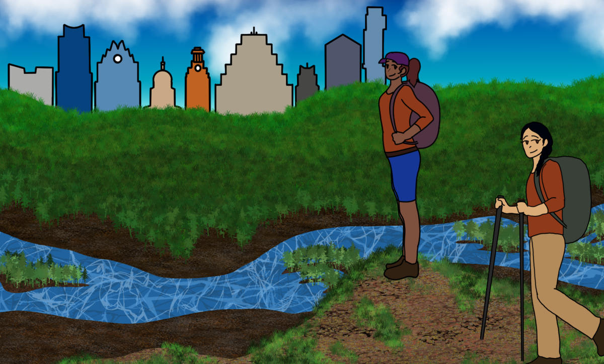
With the welcomed arrival of cooler temperatures and fall break, many students may be in search of an active outlet to decompress from the stress of the semester. For Longhorns looking to get outdoors, The Daily Texan compiled a list of hiking spots around Austin to check out.
Shoal Creek Greenbelt
Winding along the western edge of West Campus lies Shoal Creek Greenbelt, a nearly 10-mile adventure stretching from State Highway 183 to West Cesar Chavez Street. With partially paved and trail surfaces to travel on, this track offers canopies of trees and a calm creek buddying parts of the path. In close proximity to campus, the Shoal Creek Greenbelt navigates through the bustling Pease Park, boasting sand volleyball and basketball courts, wildflower fields and public restrooms.
Ann and Roy Butler Hike-and-Bike Trail
Backdropped by the Austin skyline, the Ann and Roy Butler Hike-and-Bike Trail provides over 11 miles of paved and urban trail encompassing Lady Bird Lake. Generally flat, the trail proves well suited for walking, running or biking and offers ample rest areas for relaxation or fishing. Situated along the heart of Austin’s action, this loop is accessible by CapMetro bus stops.
Barton Creek Greenbelt
An urban escape, the Barton Creek Greenbelt presents a 15-mile out-and-back trek into the rocky hills of southwest Austin. Partially shaded, the path features a variety of natural attractions, ranging from endangered species of wildlife to flowing waterfalls, depending on the season. Although Zilker Park serves as the main start and end point, hikers can access the Barton Creek Greenbelt at other trailheads for a shorter route.
River Place Nature Trail
Situated northwest of campus, the River Place Nature Trail offers a six-mile out-and-back trail. With 2,763 steps to the top, the journey offers scenic views of Austin’s rolling hills. Along the path, anticipate small streams, ponds and rock formations. Primarily dirt, rock and wood covered, come prepared with hiking shoes. Plan in advance, as the trail restricts entry to certain hours and requires a credit-only entrance fee.
Mount Bonnell
A quintessential sunrise or sunset spot, Mount Bonnell proves to be both a quick and scenic hike right here in Austin. Sitting at a 785-foot elevation, the trek to the top takes hikers to Austin’s highest point. The overlook features countless trees split by the smooth Colorado River. The hike contains about 100 stairs to the top and is only around 0.3 miles in length.