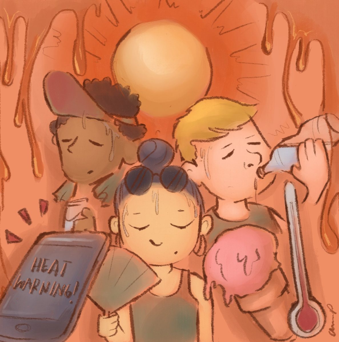
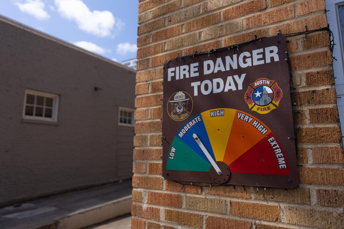
Warmer episodes of dry air, severe drought conditions and short-term weather fluctuations cause an increased number of red flag warnings in Texas in the spring months, meteorologists said. Travis County experienced six of these warnings in March, according to the Iowa State University Environmental Mesonet.
Red flag warnings are caused by a combination of warm temperatures, very low humidities and stronger winds that produce an increased risk of fire danger, according to the National Weather Service. The criteria for a warning to be issued is a relative humidity of 15% or less, wind gusts of 25 miles per hour or greater and for the conditions to occur simultaneously for three hours within a 12-hour timeframe, according to the administration.
In Travis County, specific wind gusts and levels of fire danger — categorized by the Texas A&M Forest Service as high, very high or extreme levels — must be met for the National Weather Service to issue a red flag warning in and around Austin, said Eric Platt, a meteorologist for National Weather Service Austin/San Antonio office.
Short-term drought conditions are determined by the month-to-month changes in precipitation levels and temperature, while long-term conditions are designated by the year-to-year variations, said Brad Rippey, a meteorologist for the U.S. Department of Agriculture. In the short term, Texas saw a “pretty wet November” followed by a quite dry winter and has seen this dryness continue in the early spring months, Rippey said.
“When we start talking about wildfire and grass fire, you’re really kind of more focused on the short-term component of drought,” Rippey said. “A lot of ingredients across Texas are in place right now for that elevated wildfire risk. You have much of the southern and western part of the state in short-term drought, so you have very limited surface water supplies, and a lot of the vegetation is drying out seasonally anyway.”
The short-term risk factors are made up of natural variabilities in the climate system, said Danielle Touma, a research assistant professor in the Jackson School of Geosciences.
“During the El Niño season, (Texas) usually gets wetter conditions, but during La Niña, we usually get drier conditions,” Touma said.
The National Ocean Service categorizes El Niño and La Niña as weather patterns caused by “variations in ocean temperatures,” which in turn cause short-term drier or wetter weather conditions.
Texas is not technically in a La Niña season right now but is in the transition period from El Niño to La Niña, Touma said. The shift usually happens every four years and is an extra variable in the climate system, but long-term temperatures in Texas are tending to be warmer in general, she said.
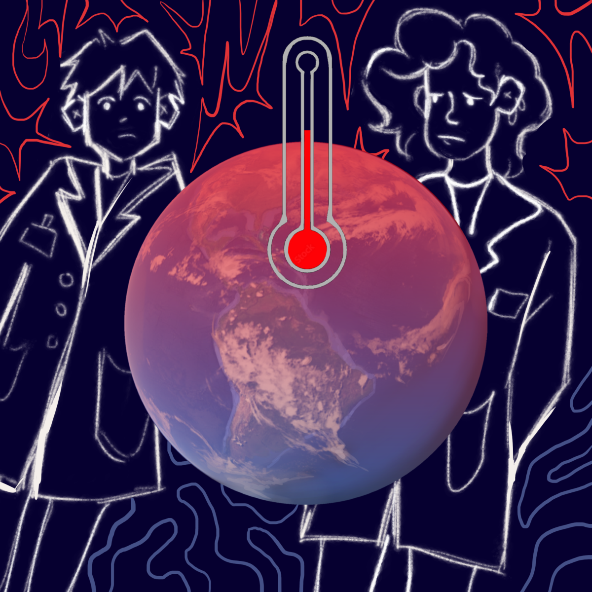
“Some of that is attributed to climate change (and) to greenhouse gas emissions increasing in our atmosphere due to human activities,” Touma said. “The fact that we are seeing a warming trend means we just cross those red flag warning thresholds a lot more often than we used to.”