

The Austin Transportation Department utilizes a data-informed planning tool to identify areas in Austin that have a relatively high number of serious traffic injuries and fatal crashes.
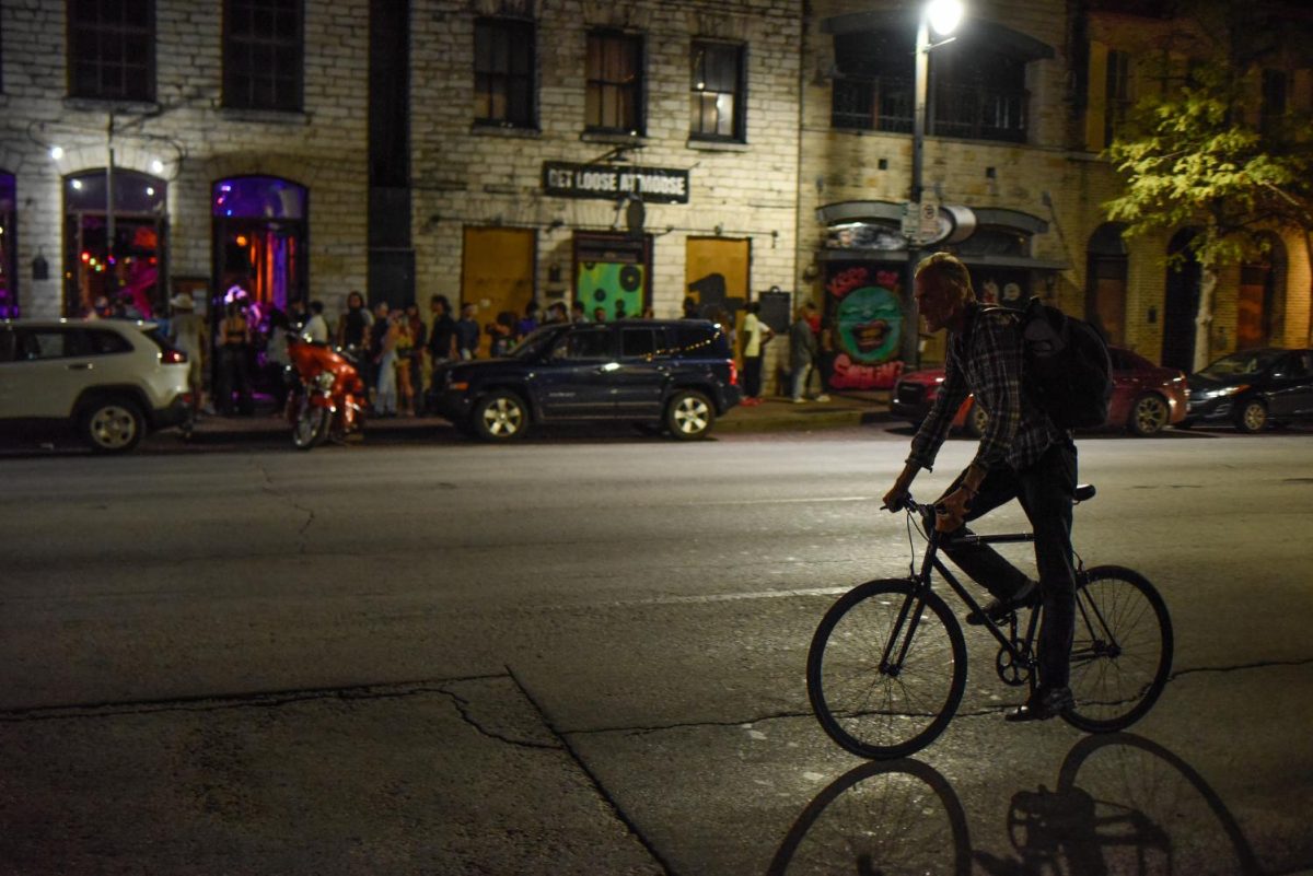
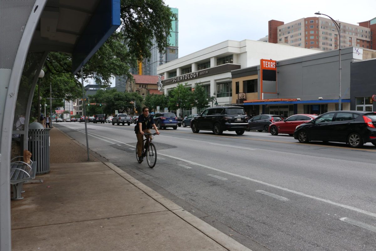
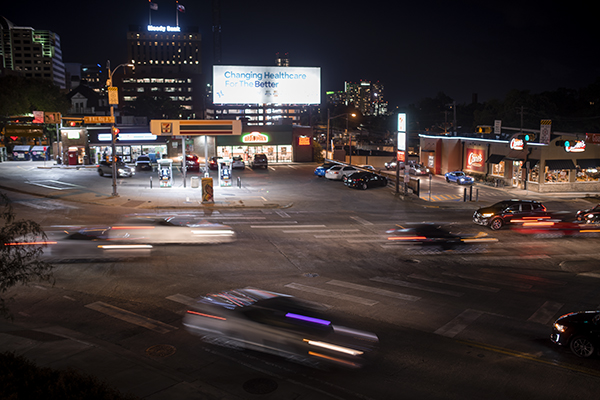
These areas, called the High-Injury Network, are where 70% of the city’s accidents occur and consist of 8% of the Austin street grid, said Joel Meyer, Vision Zero transportation planner. Vision Zero is an international movement to eliminate traffic fatalities by 2025, and part of the Vision Zero movement includes creating the High-Injury Network. Guadalupe Street, 24th Street, MLK Boulevard and San Jacinto Boulevard are all part of the network.
According to the Vision Zero website, city officials use the network to determine areas where safety, infrastructure and education efforts should be focused to have the greatest impact on improving safety.
“What (the High-Injury Network) is looking at is concentrations of serious injuries and fatal crashes across the (city street) network,” Meyer said. “(The tool) helps capture longer street segments where we think there is the highest risk of crashes.”
The High-Injury Network looks at where individual crashes occur to determine high-risk areas, Meyer said. He said the network independently evaluates motor vehicle, motorcycle, bicycle and pedestrian high-injury networks and then combines them.
“We’re going to mainly use it as … a high-level tool to identify streets across the city that all have common characteristics that we think crashes are likely to occur in the future,” Meyer said. “We consider every street on this network to be a very high-crash street.”
He said the network does not include highways and solely focuses on the city street grid.
“We try to separate highways out, because they have different characteristics and different strategies that are going to be required to address those types of crashes,” Meyer said. “So this looks at … a lot of streets that the city controls (and) has jurisdiction over that we can do things about.”
The Austin Transportation Department partners with the Austin Police Department to enforce safety in the areas within the network by hiring overtime officers to go work the specific areas to increase safety, APD detective Patrick Oborski said.
Meyer said the transportation department also funds safety infrastructure in the network, such as working with the markings division, which is in charge of road markings and crosswalks.
“We gave them the High-Injury Network, and they were able to reprioritize how they allocate crosswalk maintenance dollars,” Meyer said. “So rather than restriping every few years, they’re actually going to go out every one or two years and just by default go and restripe every crosswalk on the High-Injury Network.”
Biochemistry freshman Kevin Shi said he could see how an increased police presence in these areas could lead to drivers’ compliance with traffic laws.
“If it’s that many accidents … then they could cut down on the amount of accidents,” Shi said. “If people see police there, it might make a difference in their driving.”